Kastro Apalirou: The lost Byzantine capital of Naxos
Perched atop a steep rocky hill in the south-central interior of the island lies Kastro Apalirou. Situated between the traditional villages of Sagri and Agiassos, this sprawling fortress stands as a monument to a medieval era. For nearly six centuries, this formidable complex served as the administrative heart, acropolis, and primary military stronghold of the island of Naxos until the early 12th century – among other fortifications protecting the island, like the Apano castle. This strategic dominance even made it the premier Byzantine castle Cyclades forces relied on to counter maritime threats.
Recent archaeological campaigns have fundamentally shifted our understanding of this location. The discoveries reveal that Apalirou Castle was not merely a temporary refuge in times of crisis, but a highly organized, thriving city born out of imperial geopolitical strategy.
Botanical toponym and early history.
The name of the fortification derives from apaliries, an unusual bush that grows abundantly around the castle hill. While no written records detail the exact founding of the city, archaeological evidence provides a clear timeline. Abundant ceramic remains and coins found across the site suggest that a civilian settlement was established here before the 7th century.
The most probable chronology for the construction of the defensive walls is slightly later. Architectural styles point to the first years of the reign of Emperor Leo III (717-741). During this period of Middle Byzantine Naxos, the castle functioned as a secure acropolis. The main capital of the island sat directly at the foot of the hill of Apaliros, protected by the garrison above.
An imperial response to the Arab incursions
The initial fortification and urban planning of Kastro Apalirou are tied directly to the mid-7th century. During this volatile period, the expansion of the Arab Caliphate into the Mediterranean subjected the Aegean islands to devastating pirate raids.
Apalirou was not an ad-hoc peasant refuge, however. The fortress was well-planned, pointing to a central authority and direct state solicitude to strengthen the defenses of the Aegean islands. The Byzantine fleet relied heavily on the central Aegean for logistical maneuvers, and contemporary records—such as the stadiodromikon (a naval portulan prepared by Emperor Constantine VII Porphyrogenitus for the 949 expedition against the Arabs in Crete) — explicitly list Naxos as a vital port of call on the strategic military route linking Constantinople to Crete.
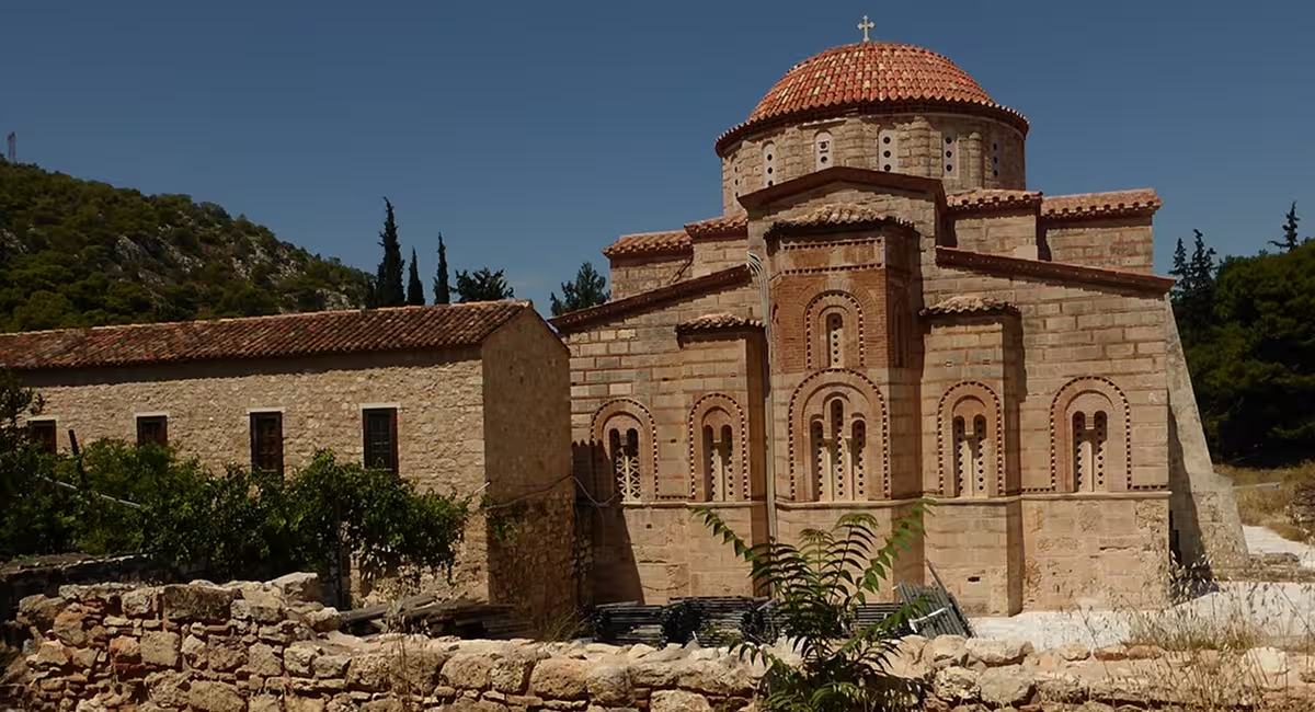
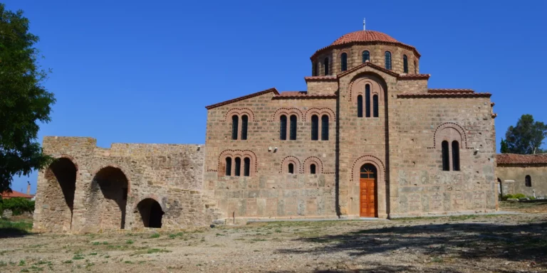
This official imperial attention is mirrored directly on the island by the documented presence of military officials, who are referred to in the surviving inscriptions of the local churches of the Protothronos and the Diasoritis.
Strategic topography and military dominance
The builders of Apalirou selected a location of absolute tactical genius. From its peak, the garrison held a commanding view that monitored the main terrestrial routes connecting the mountainous center of Naxos to its plains. More importantly, the castle was of outstanding military importance for surveying the sea corridors running between the islands of Naxos, Paros, and Ios. The fortification features an elongated layout built strictly on a North-South axis. It spans an intramural area of 20,000 square meters, protected by a wall perimeter measuring 745 meters.
This position offers excellent natural protection. From the towers, the garrison controlled the agricultural wealth of the interior plains and surveyed the crucial sea corridors running between Paros, Naxos, and Ios. Directly below the castle, extensive tracts of fertile, well-watered arable land have been identified. These fields were strictly controlled by the military forces garrisoned in Apalirou to secure food supplies.
This agricultural wealth explains the testimony found in the Strategikon of Kekaumenos (written around 1070). Kekaumenos notes that naval commanders (archontes tou stolou) who came to the Cyclades frequently stationed their soldiers on the islands for long periods. Rather than focusing purely on training or defense against enemy attacks, these commanders were intent on amassing farm products—such as grain, barley, legumes, wine, meat, and oil—along with gold coins to their own advantage. Thanks to its plenteous supply of water and rich agricultural output, Naxos was ideal for these long-term military deployments.
Inside the citadel: A self-contained Byzantine city
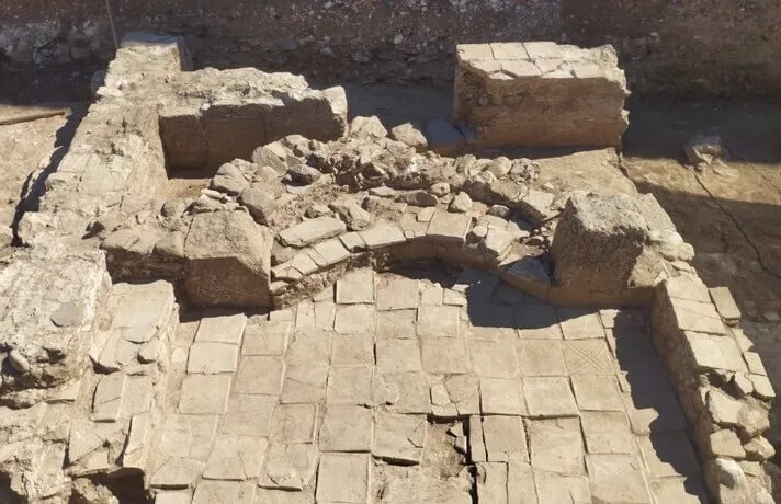
Systematic architectural and landscape surveys undertaken by the Norwegian Archaeological Institute have definitively proved that Apalirou was a fortified urban hub spanning approximately two hectares intramurally. A large part of the defensive walls, towers, and bastions remain preserved. The interior of the walls contains the visible ruins of approximately 250 houses, churches, a communal bakery, and an olive mill.
The site features a wealth of sophisticated infrastructure:
- The Defensive Perimeter: A robust fortification wall, reinforced with rectangular and pentagonal towers, encircled the plateau, utilizing the natural vertical cliffs as a secondary line of defense.
- Water Management: Because the peak lacked natural springs, Byzantine engineers constructed massive, vaulted subterranean cisterns to collect and store rainwater, allowing the city to withstand prolonged blockades.
- Religious Architecture: The survey identified the remains of at least eight Byzantine churches within the settlement, including a prominent three-aisled basilica situated at the highest point of the ridge.
- Domestic and Extra-mural Life: The interior of the walls is dense with multi-level stone dwellings arranged in tiers along the slopes. Furthermore, excavations at the lower site of Kato Choria have uncovered an extensive extra-mural settlement complete with domestic pottery, storage vessels, and workshops dating from the 7th to the 11th centuries.
This deep-rooted military legacy left a profound mark on the island’s culture. It directly explains the large number of local churches dedicated to soldier-saints, such as Saint George, as well as the highly developed military iconography encountered across Naxos. Beyond the promotion of standard military ideology, the choice of specific warrior figures took on a deeper theological meaning in the 13th century. For example, the depiction of Saint Mercurios on horseback at Sangri—a pre-iconoclastic iconographic type linked with the miraculous slaying of Julian the Apostate—served as a powerful visual statement for the protection of the true faith during a highly turbulent ideological climate.
Subterranean Infrastructure: The Twin Cistern System.
Water security was a constant challenge for the inhabitants because the steep hill has no natural springs. To survive prolonged blockades, Byzantine engineers designed a highly complex system for collecting and storing rainwater. The abundance of these water tanks (cisterns) is a rare feature of the site. They remain the most visible structures on the hill today due to the extensive use of durable mortar in their construction.
Archaeologists categorize these reservoirs into two distinct groups:
- Public Cisterns: 5 large cisterns designed for common use by the entire community. These are strategically placed in open areas and are not connected to any specific building.
- Private Cisterns: 52 private cisterns integrated directly into individual homes. These reservoirs are located in the basements of the houses and were accessed internally from the upper living floors.
The siege of 1207 and fall to the Venitians
Kastro Apalirou remained the uncontested seat of Byzantine power on Naxos until the geopolitical shockwaves of the Fourth Crusade and the Sack of Constantinople reached the Aegean. In 1207, the Venetian nobleman Marco Sanudo arrived on Naxos with a private fleet, determined to carve out an independent maritime domain.
Recognizing that he could never truly control the island while its Byzantine elite remained entrenched in the mountains, Sanudo marched on the citadel. The local Greek and Byzantine defenders staged a fierce resistance, holding out against the Latin forces for roughly 40 days.
Following the capture of the hill, Sanudo made the strategic decision to abandon Apaliros. He chose to build his new capital on the coast at Chora to remain closer to the sea and his naval fleet. According to historical sources, Sanudo systematically destroyed the fortress immediately after its capture. This deliberate destruction prevented pirates, rebels or invaders from reusing the mountain peak as a counter-stronghold. The Venetian occupation lasted until 1537, when the Ottoman Empire seized control of the island. Today, the ruins of Apaliros remain frozen in time as a remarkably intact ghost city of the medieval Aegean.
Sources
Kastro Apalirou in Context / Naxos and the Byzantine Aegean (Ed. James Crow & David Hill, 2018).
Kato Choria, Naxos: Extra-Mural Archaeological Excavations.
Apaliros Castle: Chronicles, Topography, and Technical Data.
The Mighty Byzantine Citadel of Apalirou: Historical Background.